Smoking Hills
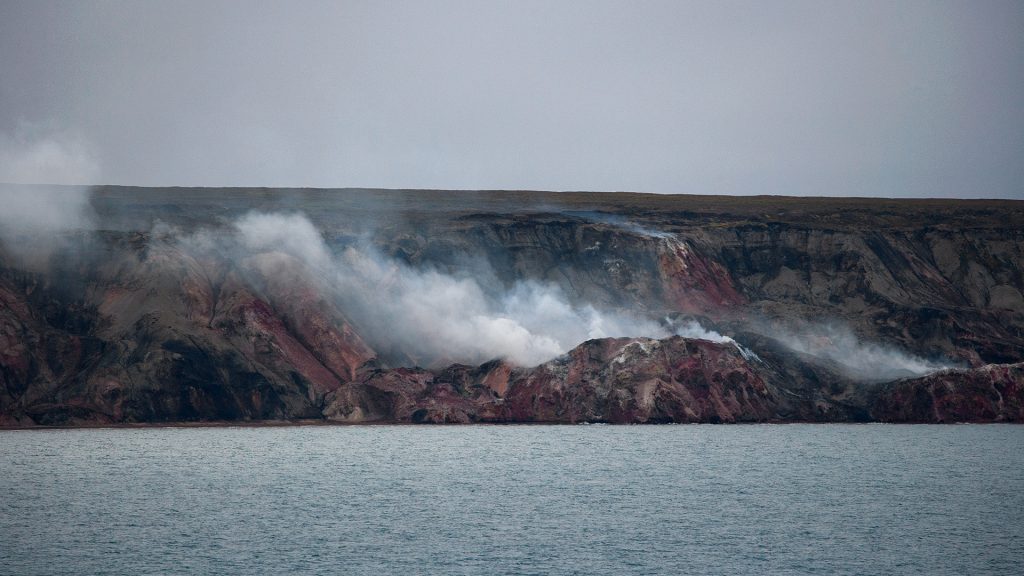
When you see smoke rising up from the earth, several explanations come to mind. Apart from the conclusion that it must be a portal to hell, the most common assumption is that the smoke is caused by volcanic activity. And more often than not, this assumption would be right: Fumaroles are small vents or fissures caused by previous or impending volcanic activity through which heated water and vapors escape – a fumarole is a place where smoke rises up straight from the earth.
In Alaska’s Katmai National Park, for example, there was a whole valley filled with such fumaroles. They were formed in the aftermath of the Novarupta eruption in 1912, the largest volcanic eruption of the whole 20th century. About 20 kilometres from Mount Katmai, a 2-km-wide vent opened in the course of the eruption, through which lava surfaced. After about 60 hours of non-stop spouting of lava and pyroclastic flow, a huge lava dome finally plugged the volcanic vent and stopped the eruption; the dome cooled and hardened into a small mount that was named Novarupta. The ashes that had been spouted into the atmosphere covered a whole valley, forming a thick layer of up to 210 metres of extremely hot volcanic material. Inside this hot, ashen layer, water evaporated and turned to steam, which rose up through thousands of fumaroles. When geologists first came to explore the site in 1916, they were met with an extraordinary sight: „The whole valley as far as the eye could reach was full of hundreds, no thousands – literally, tens of thousands – of smokes curling up from its fissured floor,” wrote Griggs, one of the scientists for the National Geographic Society. The „Valley of Ten Thousand Smokes“, as it was subsequently named, kept smoking for quite a few years before the ashes finally cooled down enough for NASA to use the valley to train austronatuts there in the 1960s.
So, provided you have not been fooled by a massive bonfire, chances are pretty high that what you’re seeing is of volcanic origin.
Not so at Smoking Hills, though. The ‚Smoking Hills‘ are a stretch of cliffs rising up from the Arctic Ocean along the northern coast of Canada. They spout thick, foul-smelling white smoke. Located on a stretch of Arctic tundra in the middle of nowhere, with the nearest settlement over 100 kilometres away and not a single road leading to the area, they are not a sight many people get to see. They were first discovered by Westerners (the native Inuit, obviously, had known them for centuries!) during John Franklin’s second Arctic expedition. The expeditioners were baffled by the sight. John Richardson, the naturalist on the expedition, hypothesised that the cause of the smoke was not volcanic, but had to do with the oxidation of sulfuric minerals and organic matter in the shale. He was right: Within the rocks that form the cliff, there are layers of oil shale rich in sulfur and bone coal. When these are exposed to oxygen from the air and sea water, they auto-ignite. Once all the flammable components have been consumed, the remaining rock becomes unstable and erodes into the Ocean, exposing the next layer of shale, which now auto-ignites and keeps the hills smoking.
Geology is fascinating.
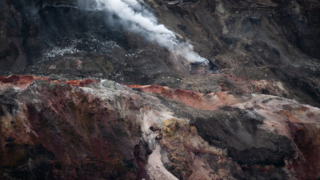
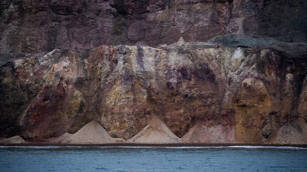
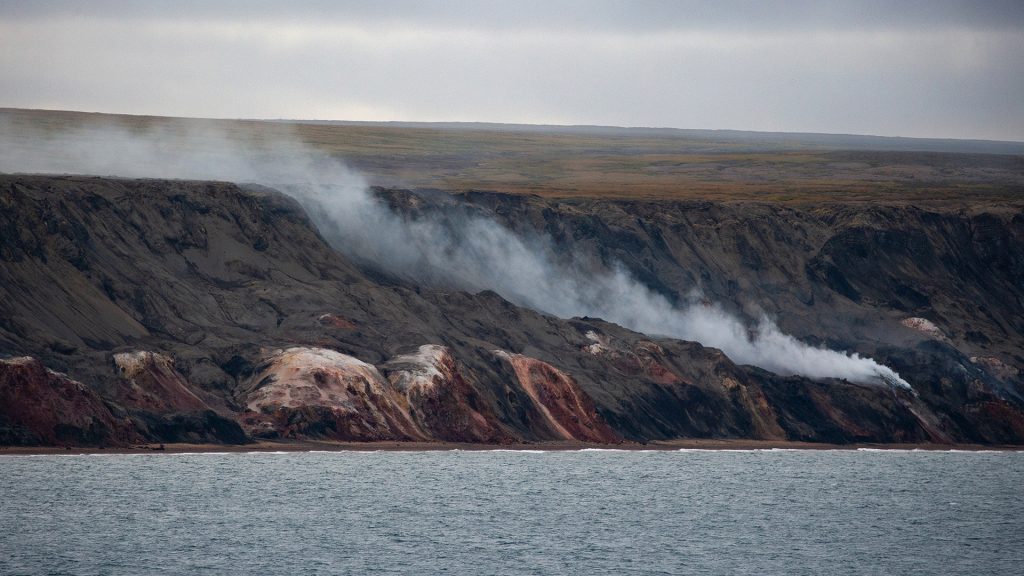
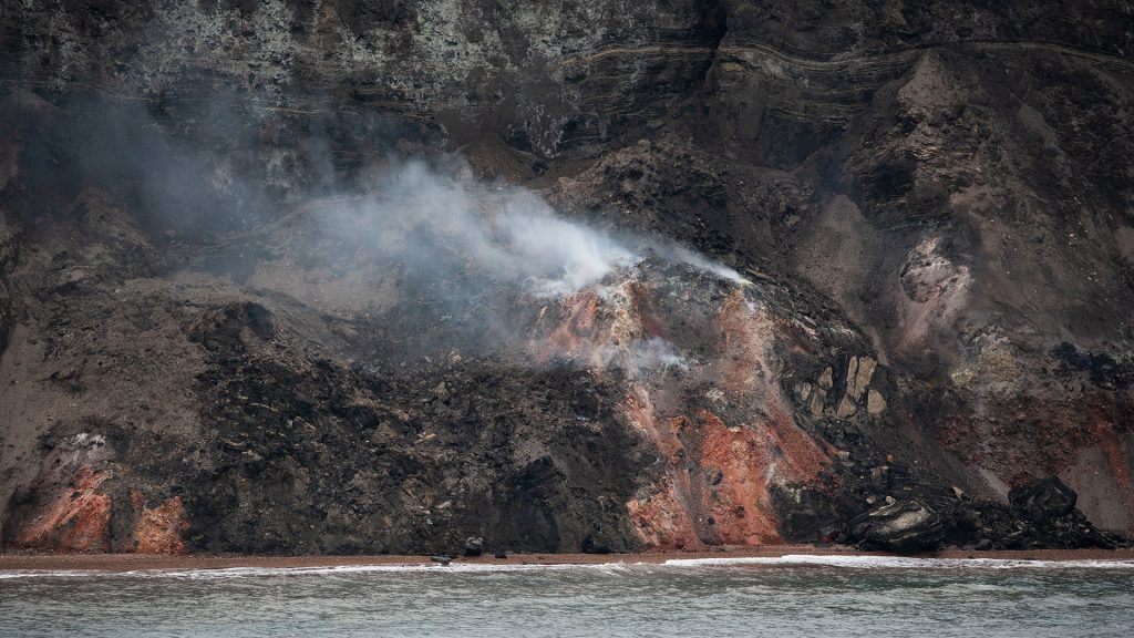
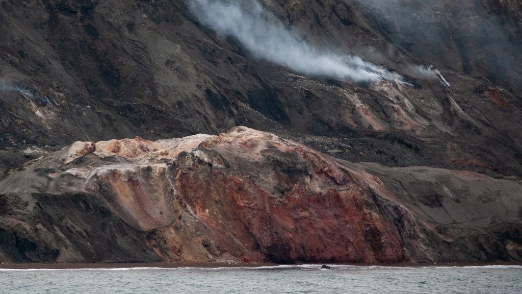
In view of the fact that I am a hopeless photographer, I have used pictures taken by my wonderful colleague Lise. Thank you, Lise!
Eine Antwort
It’s taken me a few days to get down to my underground cell, but as usual, the blog is utterly fascinating. Thank you, dear author, and thank you for the photos, Lise.